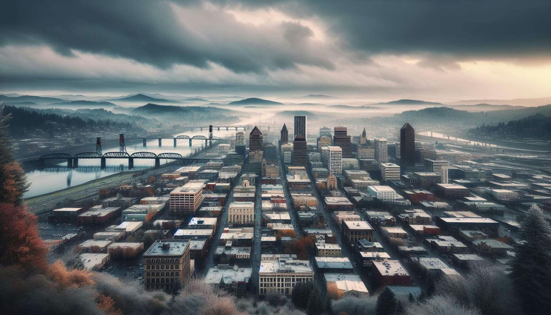
The National Weather Service has released a Winter Storm Watch for the Portland metro area, stating snow accumulations of 1-6 inches are possible between Friday and Saturday afternoons.
Viral weatherman Frankie has also sounded the alarm, cautioning that a "major winter storm" will bring "6 to 12 inches of snow or more" on Friday, January 12th, 2024.
However, weather models differ greatly as to how much (or even if) snow will fall. At the time of this writing (Wednesday afternoon), some models forecast the accumulation of several inches, while others forecast no further precipitation after Friday morning.
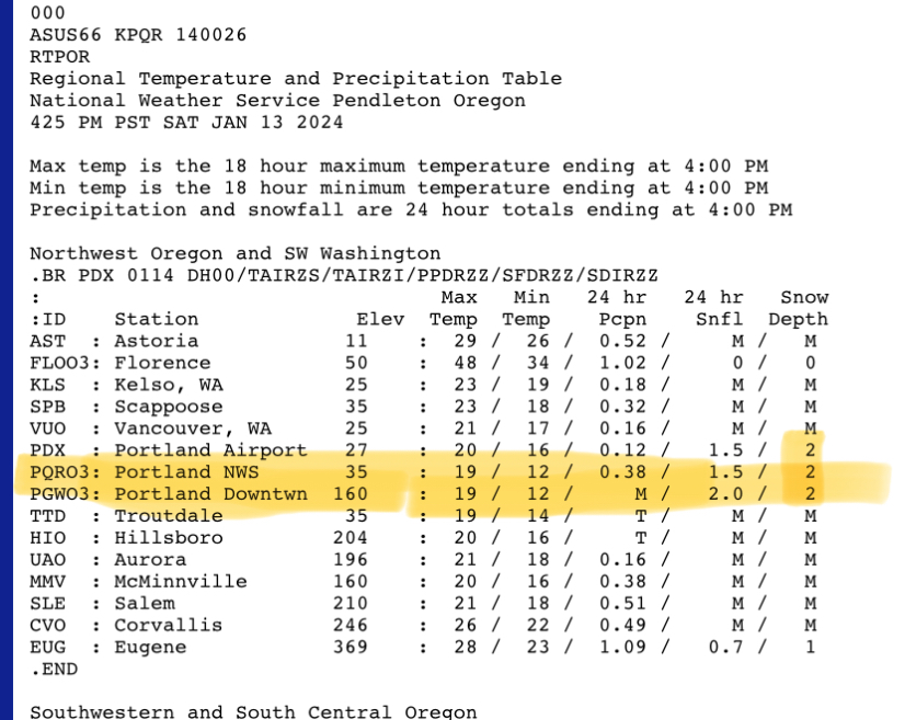
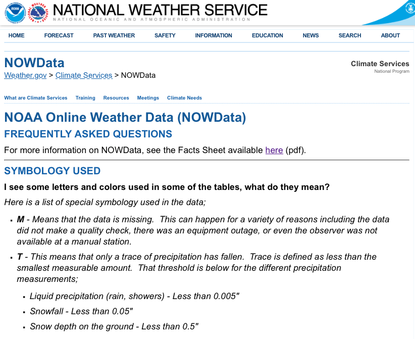
PLEASE NOTE: To resolve YES, snow must both fall and accumulate on the ground (i.e. "stick") across Portland, including areas such as the downtown and inner eastside, according to https://forecast.weather.gov/product.php?site=PQR&issuedby=OR&product=RTP&format=CI&version=1&glossary=0 and/or https://www.weather.gov/source/crh/snowmap.html.
Snow merely falling from the sky or only accumulating in areas having relatively higher elevations (such as the Southwest hills) will result in a NO resolution.
🏅 Top traders
| # | Name | Total profit |
|---|---|---|
| 1 | Ṁ81 | |
| 2 | Ṁ70 | |
| 3 | Ṁ40 | |
| 4 | Ṁ25 | |
| 5 | Ṁ10 |
How much snow needs to stick to be a "NO"?
I ask because Portland often doesn't accumulate a large amount of snow very broadly. It'll get some all over the place, but most won't stick for long if at all.
Also, how long does it need to stick to be considered? It tends to melt very shortly afterwards.
Updated forecast discussion from NWS, published Thursday night @ 2140 local time:
> "[...] the NBM is showing a 10-20% chance of NO measurable snow at all in the aforementioned areas. However, the NAM appears to be more of an outlier solution, and current thinking is the aforementioned areas will see at least SOME accumulating snow. In fact, big snow amounts cannot be ruled out if models showing the low tracking further to the north verify. As such, the NBM is showing a 5-15% chance for snow amounts in excess of 6 inches in the aforementioned areas, except a 30-40% chance in the Columbia River Gorge. The snowiest model solutions show around 1 foot of snow in the Gorge and the Portland/Vancouver metro. There is clearly still plenty of uncertainty involved with the snowfall forecast, hence the reason Winter Storm Watches remain in effect for elevations below 1500 feet."
Sold my position as to be impartial.
Market will resolve according to snowfall as recorded by NOAA / National Weather Service and reported here: https://forecast.weather.gov/product.php?site=PQR&issuedby=OR&product=RTP&format=CI&version=1&glossary=0 or https://www.weather.gov/source/crh/snowmap.html