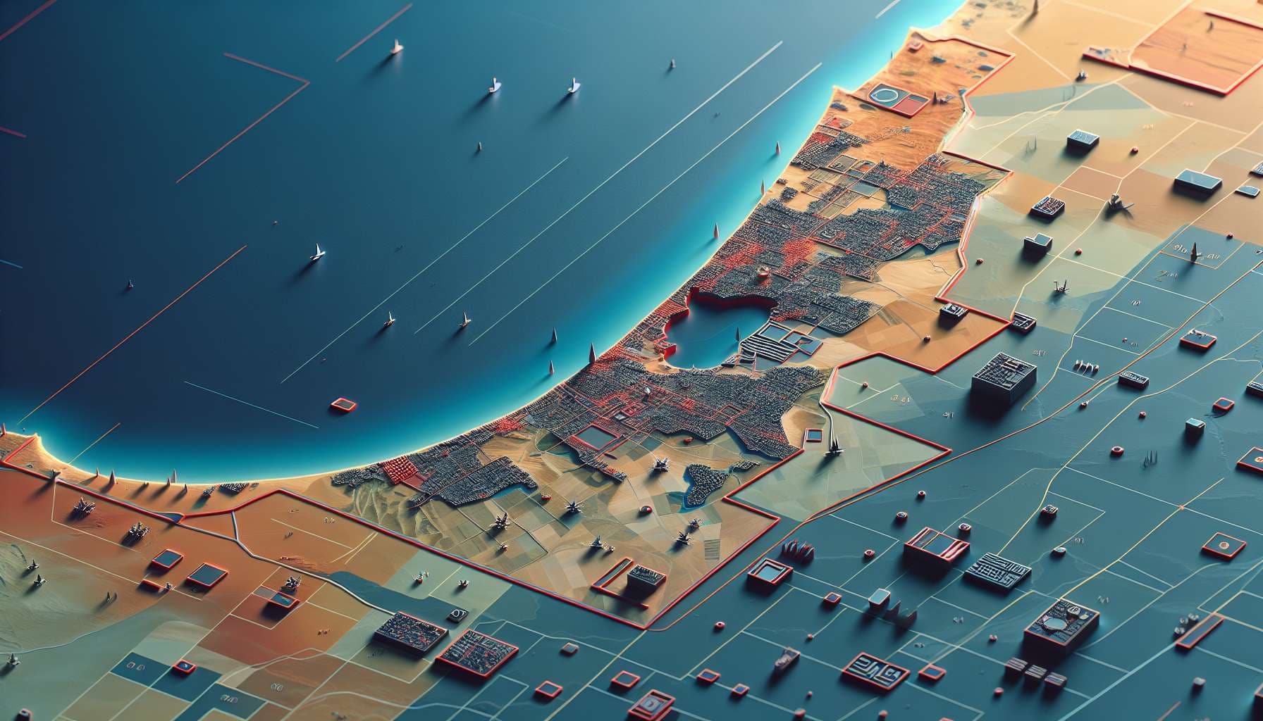
This question will resolve to 0% if Gaza is not de-facto shrunk to make room for a larger Israeli "buffer zone". Otherwise, it will resolve to 5 times the percentage of Gaza that is used to create such a territory. If more than 20% of Gaza's territory is used to create a larger "buffer zone", then the question will resolve to 100%. The number that will be used as a basis for the prewar size of Gaza is 365 km^2. The preexisting "buffer zone" of width 100-300m will not count, only additions to this will be considered - if the "buffer zone" remains as it was pre-war then the question will resolve to 0%. If a significant portion (>1%) of Gaza's territory is used for other means besides a buffer zone, such as for Israeli settlements, the question will resolve N/A. The resolution date may be extended in the case that the answer is not apparent by the date. I will try to use the best sources available to estimate the area, preferably a consensus of the New York Times, the Washington Post, and CNN.
I will not bet.
Update 2025-10-02 (PST) (AI summary of creator comment): - Connectivity rule: Land inside Gaza will count toward the "buffer zone" if it has a route to Israel proper that passes only through Israeli-controlled land, without crossing land where Palestinians live. This includes internal "pockets" linked by Israeli-controlled corridors.
🏅 Top traders
| # | Trader | Total profit |
|---|---|---|
| 1 | Ṁ8 | |
| 2 | Ṁ2 | |
| 3 | Ṁ2 | |
| 4 | Ṁ0 |
People are also trading
@JussiVilleHeiskanen I did not intend a change of terminology but a functional change. That is a change of not separating Israel from Gaza, but separating parts of Gaza from each other.