🏅 Top traders
| # | Trader | Total profit |
|---|---|---|
| 1 | Ṁ580 | |
| 2 | Ṁ559 | |
| 3 | Ṁ230 | |
| 4 | Ṁ180 | |
| 5 | Ṁ157 |
Please resolve.
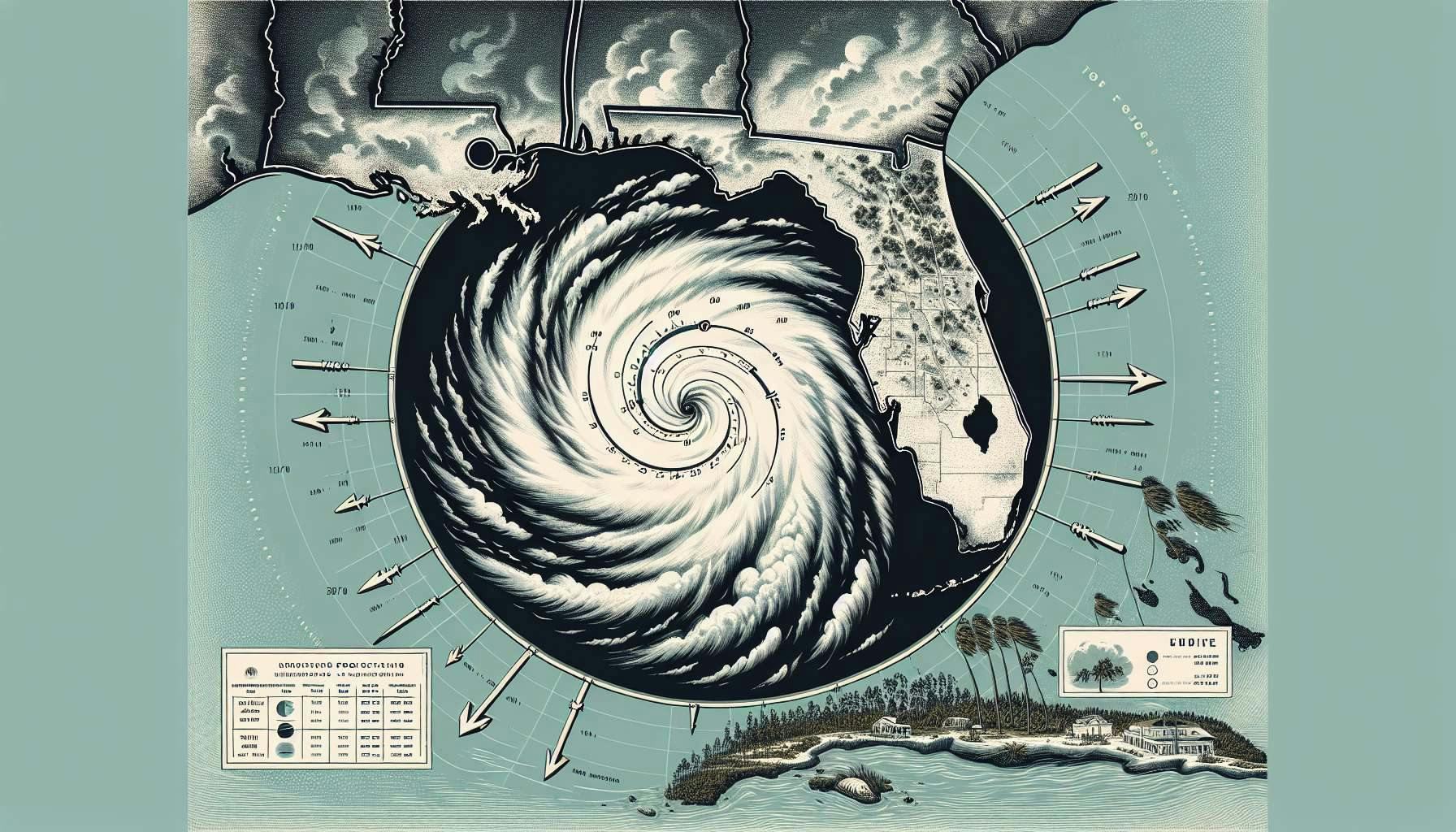
Hurricane Helene made landfall in Florida last night as a Category 4 storm, bringing 140 mph winds to the state's northwest coast. Over 600,000 homes and businesses have already lost power.
Helene hit gulf coast as cat 4.
https://www.nhc.noaa.gov/archive/2024/al09/al092024.update.09270318.shtml?

For bettors... 11am forecast
FORECAST POSITIONS AND MAX WINDS

INIT  24/1500Z 19.5N  84.3W   40 KT  45 MPH
 12H  25/0000Z 20.3N  85.2W   50 KT  60 MPH
 24H  25/1200Z 21.5N  86.3W   65 KT  75 MPH
 36H  26/0000Z 23.2N  86.3W   80 KT  90 MPH
 48H  26/1200Z 25.9N  85.4W  100 KT 115 MPH
 60H  27/0000Z 29.7N  84.3W  100 KT 115 MPH
 72H  27/1200Z 33.9N  83.9W   45 KT  50 MPH...INLAND
 96H  28/1200Z 39.7N  86.8W   20 KT  25 MPH...POST-TROPICAL
120H  29/1200Z...DISSIPATED

$$
Forecaster BergForgot about this market...
Referencing the last seasonal CSU forecast (from a few weeks ago) I'm betting it down:
https://tropical.colostate.edu/Forecast/2024-08.pdf
"U.S. East Coast Including Peninsula Florida (south and east of Cedar Key, Florida) - 30% (full-season average from 1880–2020 is 21%)
Gulf Coast from the Florida Panhandle (west and north of Cedar Key, Florida) westward to Brownsville - 38% (full-season average from 1880–2020 is 27%) “
Edit (fixed quote): from my own notebook, for the remainder of season, historically suggests above 20% for a landfalling major hurricane in FL after August. Given the next TC genesis won’t likely occur until September, lower than 40% seems reasonable and above 20% due to the above average seasonal forecast.
I expect rest of September to be a bust (which is good news). Despite that, conditioning on September 7+ I get 17% historically (1991-2023 baseline).
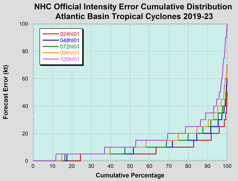
@datachef Not a meteorologist by long shot… you can also look at the intensity market… to get some ideas but the NHC forecast is on the low end of the model s