Resolution source: https://www.nhc.noaa.gov/archive/2025/
Subtropical storm also counts.
Resolves to the UTC time written in the advisory text.
N/A if does not form in 2025.
🏅 Top traders
| # | Trader | Total profit |
|---|---|---|
| 1 | Ṁ408 | |
| 2 | Ṁ299 | |
| 3 | Ṁ73 |
TS Henriette has formed
WTPZ23 KNHC 042033
TCMEP3

TROPICAL STORM HENRIETTE FORECAST/ADVISORY NUMBER   3
NWS NATIONAL HURRICANE CENTER MIAMI FL       EP082025
2100 UTC MON AUG 04 2025

TROPICAL STORM CENTER LOCATED NEAR 14.8N 120.6W AT 04/2100Z
POSITION ACCURATE WITHIN  30 NM

PRESENT MOVEMENT TOWARD THE WEST-NORTHWEST OR 295 DEGREES AT  13 KT

ESTIMATED MINIMUM CENTRAL PRESSURE 1004 MB
MAX SUSTAINED WINDS  40 KT WITH GUSTS TO  50 KT.
34 KT....... 40NE  30SE  30SW  40NW.
4 M SEAS.... 60NE   0SE   0SW   0NW.
WINDS AND SEAS VARY GREATLY IN EACH QUADRANT.  RADII IN NAUTICAL
MILES ARE THE LARGEST RADII EXPECTED ANYWHERE IN THAT QUADRANT.
NHC TWO:
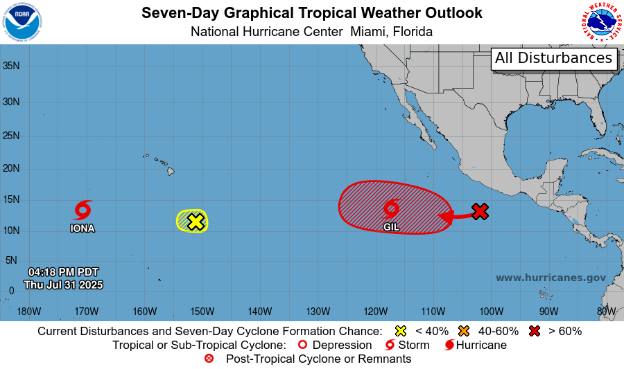
Central East Pacific: An area of low pressure is expected to form well southwest of southwestern Mexico within the next couple of days. Environmental conditions appear conducive for some gradual development of this system, and a tropical depression is likely to form late this weekend or early next week as the system moves west-northwestward at 10 to 15 mph. Formation chance through 48 hours...low...10 percent. Formation chance through 7 days...high...70 percent.
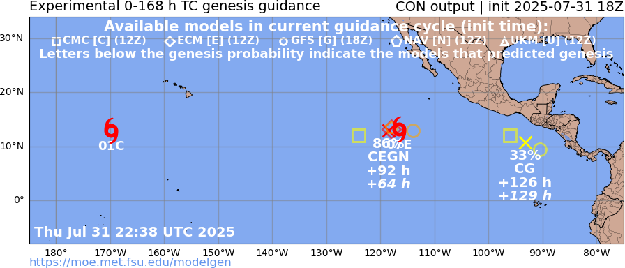
NHC has an eye on a potential genesis event south of Mexico near where Gil is, but there is also a lower probability potential storm further in the future (~5days from now) further east:
FSU det.:

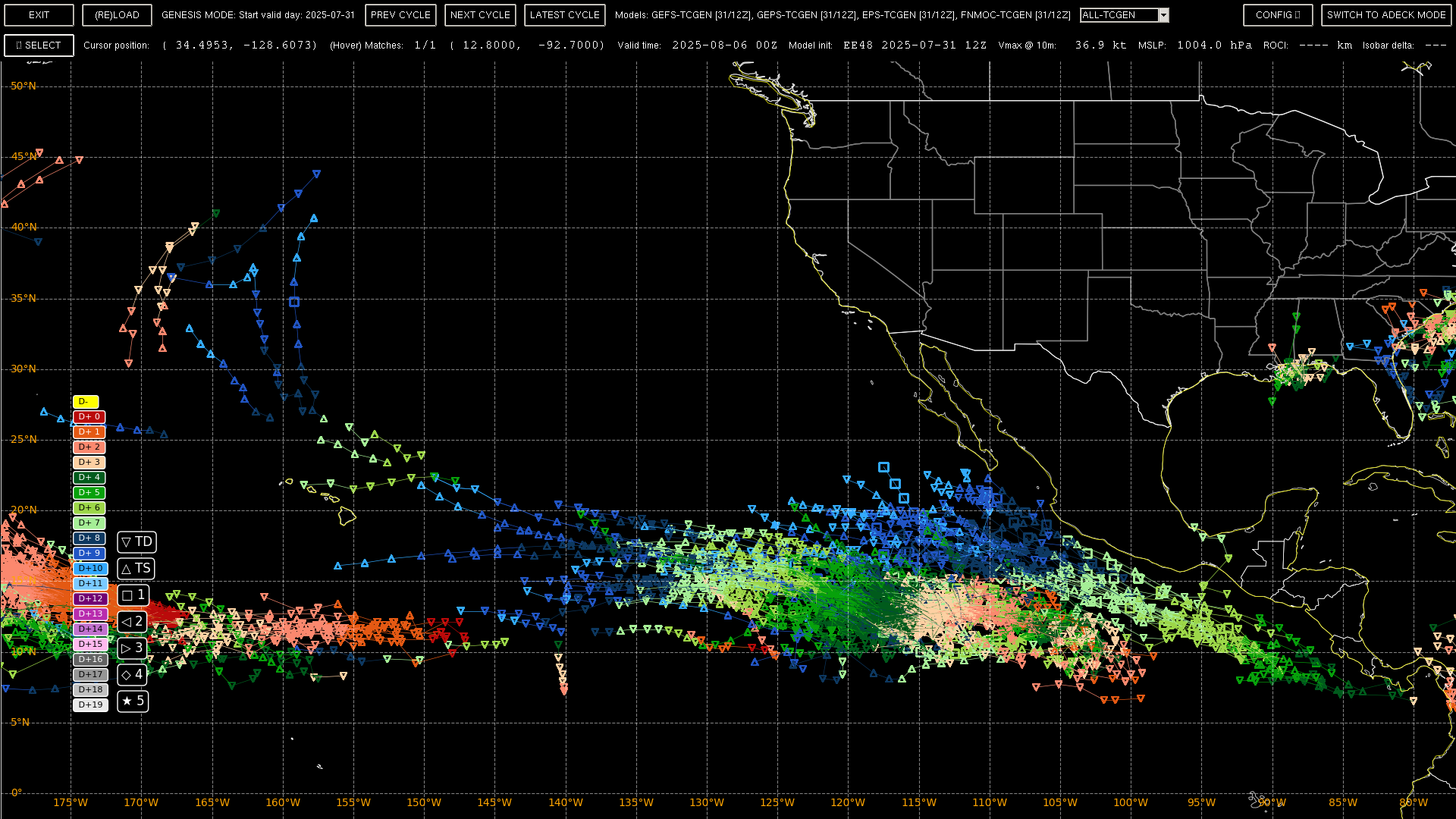
12Z ensembles with tracks for Gil removed:

