🏅 Top traders
| # | Trader | Total profit |
|---|---|---|
| 1 | Ṁ855 | |
| 2 | Ṁ692 | |
| 3 | Ṁ140 | |
| 4 | Ṁ119 | |
| 5 | Ṁ61 |
People are also trading
Intensity market is up. Will be open for 36 hours.
https://manifold.markets/SaviorofPlant/what-will-be-the-maximum-intensity-bt6qygdnb5
Tropical Storm Francine Discussion Number   4
NWS National Hurricane Center Miami FL       AL062024
1000 AM CDT Mon Sep 09 2024

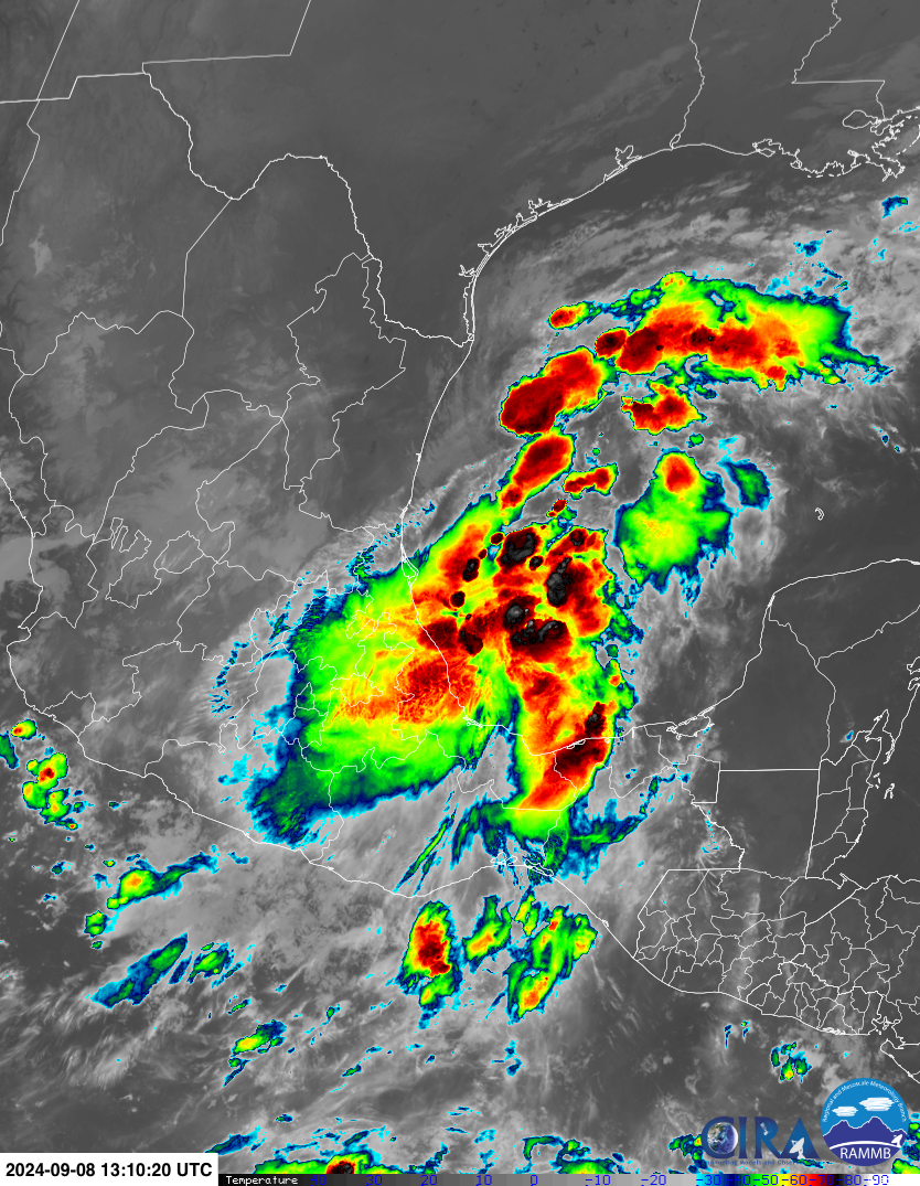
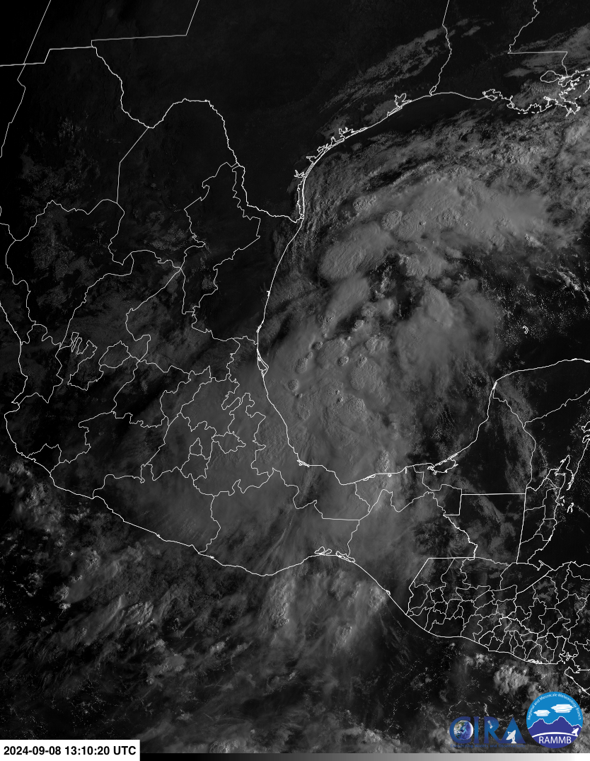
The structure of the system on satellite imagery has improved this
morning, with a large circular region of cold convection between -70
to -85 near the estimated center. An Air-Force Reconnaissance
Aircraft is sampling the system this morning and earlier found a
cyclonic wind shift from southeasterly to northwesterly flow near
the center of the mass of deep convection. This data provides enough
evidence that a well-defined circulation now exists, and thus PTC
Six has become Tropical Storm Francine with sustained winds of
45 kt this advisory.POTENTIAL TROPICAL CYCLONE SIX FORECAST/ADVISORY NUMBER 1
NWS NATIONAL HURRICANE CENTER MIAMI FL AL062024
2100 UTC SUN SEP 08 2024
POTENTIAL TROP CYCLONE CENTER LOCATED NEAR 21.6N 94.6W AT 08/2100Z
POSITION ACCURATE WITHIN 50 NM
PRESENT MOVEMENT TOWARD THE NORTHWEST OR 320 DEGREES AT 4 KT
ESTIMATED MINIMUM CENTRAL PRESSURE 1003 MB
MAX SUSTAINED WINDS 45 KT WITH GUSTS TO 50 KT.
34 KT....... 0NE 0SE 140SW 160NW.
12 FT SEAS.. 0NE 0SE 240SW 180NW.
WINDS AND SEAS VARY GREATLY IN EACH QUADRANT. RADII IN NAUTICAL
MILES ARE THE LARGEST RADII EXPECTED ANYWHERE IN THAT QUADRANT.
REPEAT...CENTER LOCATED NEAR 21.6N 94.6W AT 08/2100Z
AT 08/1800Z CENTER WAS LOCATED NEAR 21.4N 94.5W
FORECAST VALID 09/0600Z 22.3N 95.1W...POTENTIAL TROP CYCLONE
MAX WIND 45 KT...GUSTS 55 KT.
34 KT... 0NE 0SE 110SW 140NW.
FORECAST VALID 09/1800Z 23.2N 95.7W...TROPICAL CYCLONE
MAX WIND 45 KT...GUSTS 55 KT.
34 KT... 0NE 80SE 80SW 120NW.
Latest advisory (#3) still forecasting a TC by 18Z.
TC Genesis still kept at 90%. Still predicting a Hurricane by landfall (70kt).
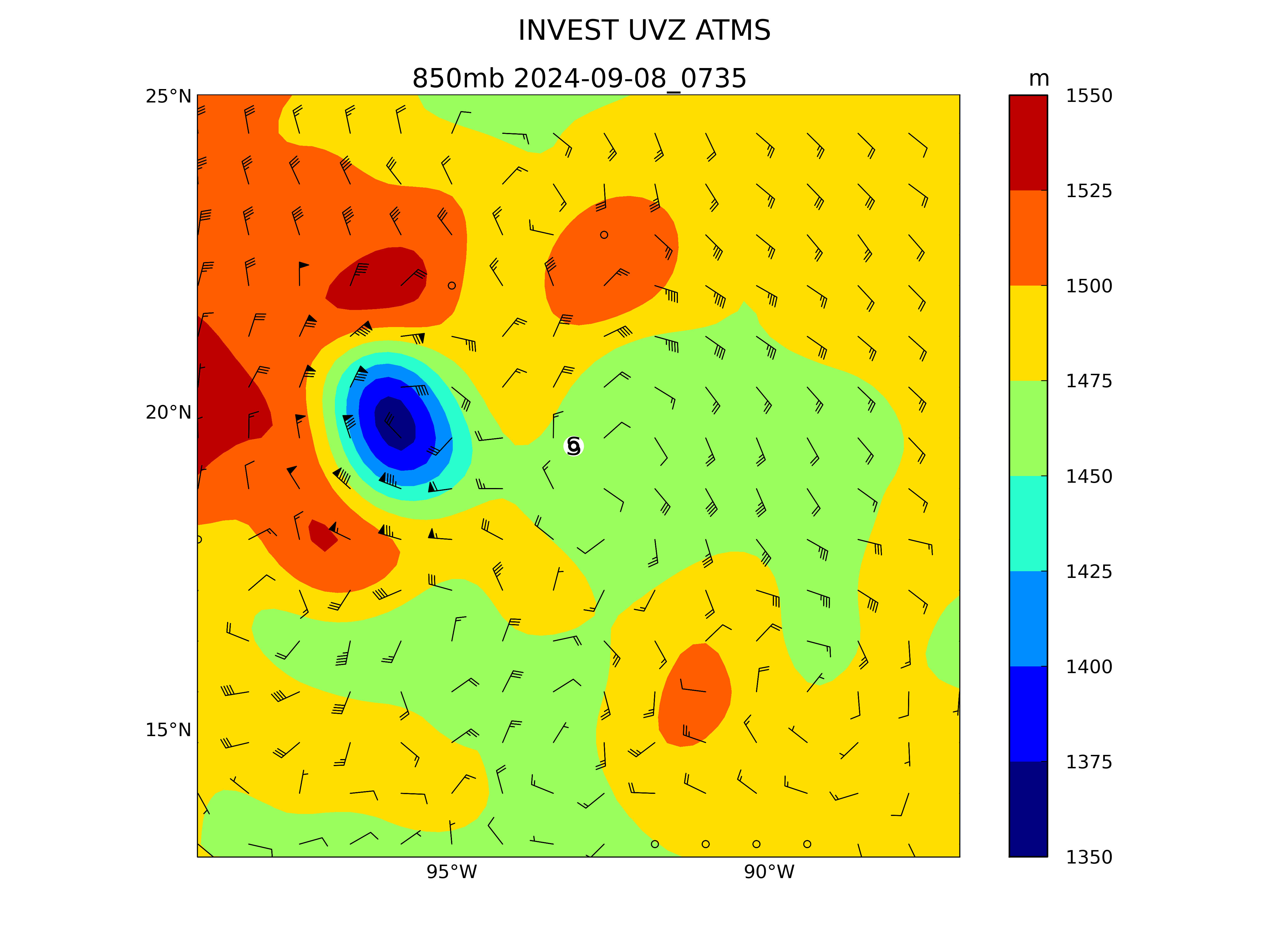
Surface analysis from 06Z shows the lows still haven't finished merging:
https://www.nhc.noaa.gov/tafb/USA_06Z.pdf
Vorticity loop shows the progress:
https://tropic.ssec.wisc.edu/real-time/atlantic/movies/wg8vor4/wg8vor4_loop.html
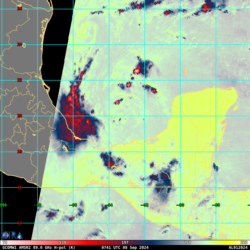
That there is still a stated ~ 10% of uncertainty in genesis < 10 hours away from the predicted genesis time is a bit puzzling (and potentially concerning for this market?). Subjectively from just looking at satellite imagery I'd assign near 100% already, but the ensemble models do seem to reflect this uncertainty as there is some spread in the (total) eventual genesis: (Edit 00-06Z) GEFS: 98%, GEPS: 72%, EPS: 100%, FNMOC: 36%. Excluding FNMOC/00Z as it looks like an unrealistic outlier or some problem with its data as the earlier run from yesterday was nowhere near this, this is an average of 89%.
Edit: fixed a bug in my program that affected the count: GEPS/00Z is slightly lower now; GEFS/06Z is now out and is now higher.
Obligatory bouy cam! (~ < 120 n. mi from center)

@parhizj I think we likely get a TD today, not sure if it will become a TS in the next 12 hours
@SaviorofPlant How does that work if it is already at 35kt?
Maybe 1 model showing a slight drop but not strengthening again immediately.
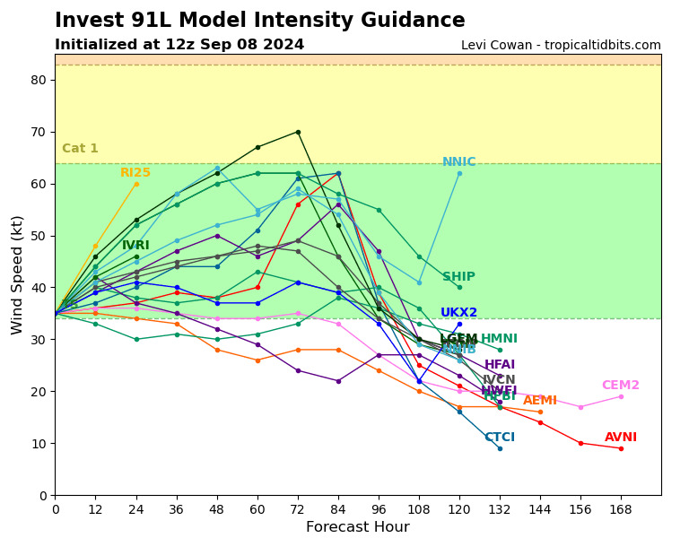
@ChristopherRandles I think they're more looking for structure than wind speed. It's a bit asymmetric/disorganized at the moment. They've fed the latest models for 18Z at 40kt.
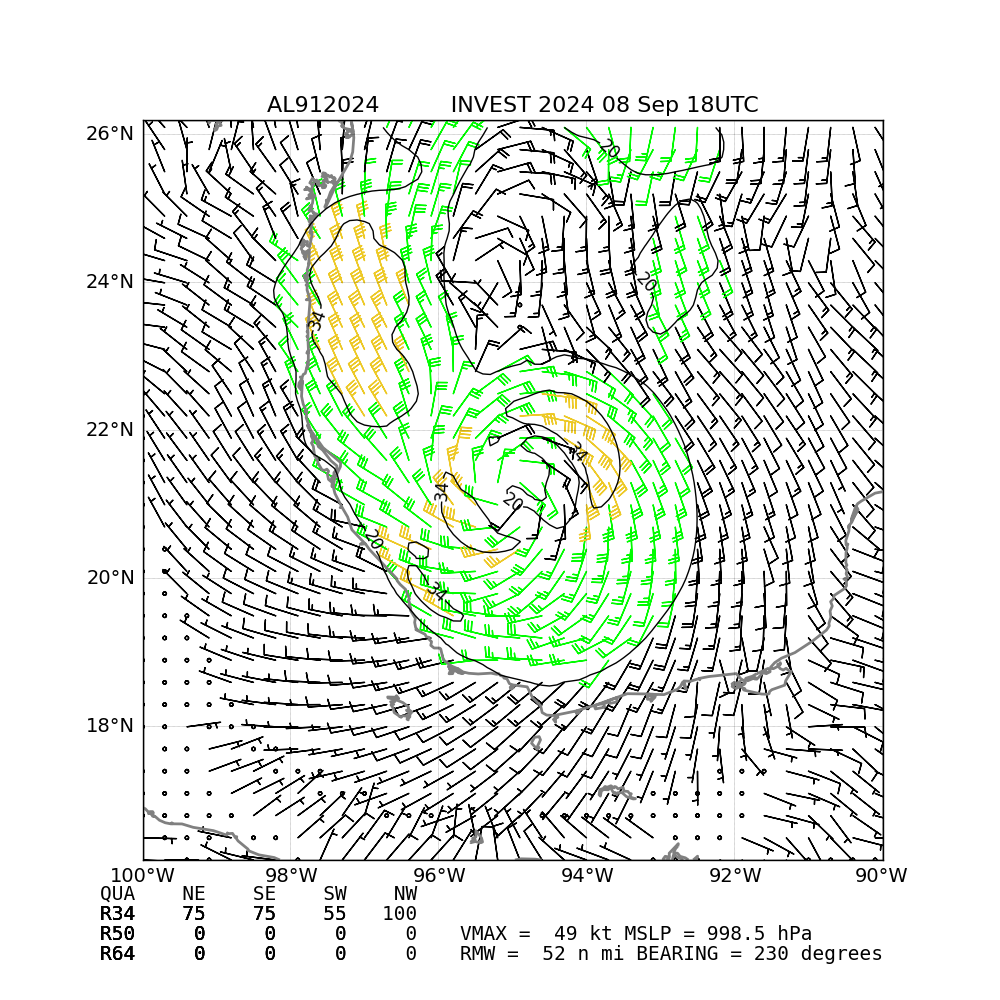
https://www.nhc.noaa.gov/tafb/USA_18Z.pdf
Latest surface analysis shows the lows are nearly merged.... I think when they do it should become a TS right afterwards....
https://www.tropicaltidbits.com/sat/satlooper.php?region=91L&product=wv_rgb
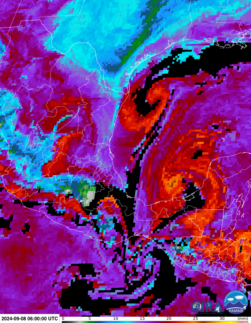
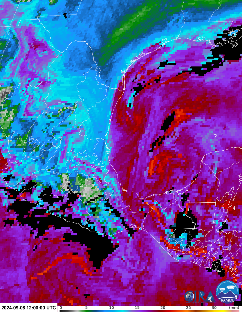
Water vapor loop I think gives clearest sign of the progress...
@parhizj What I meant is:
Either it forms and is immediately a TS not TD or it doesn't form and is neither TD nor TS. While possible that it drops in windspeed strength and then forms so it becomes a TD this seems unlikely.
Don't think potential tropical cyclone status changes this.
1. Western Gulf of Mexico (AL91):
An area of low pressure has formed over the Bay of Campeche and is
producing disorganized showers and thunderstorms. The system is
forecast to drift slowly northward for a couple of days while it
interacts with a frontal boundary. Environmental conditions are
forecast to be conducive for development, and a tropical depression
is likely to form during the early or middle part of next week while
the system moves generally northward near or along the Mexican and
Texas Gulf coastline.  Interests along the western Gulf of Mexico
coast should closely monitor the progress of this system.
* Formation chance through 48 hours...medium...50 percent.
* Formation chance through 7 days...high...70 percent.
I think this system is finally going to do it
@SaviorofPlant I've created a Gordon market since most models are showing development of a second MDR system as well: https://manifold.markets/SaviorofPlant/when-will-a-tropical-or-subtropical
Now an Invest 92L for the disturbance in the central tropical Atlantic (30/50% for the TWO).
TWO probabilities have increased to 60/80% for 91L in the GoM.
TWO excerpt for NW Atlantic (dropped to 20%):
The low is
forecast to move north-northeastward at 15 to 20 mph offshore the
northeastern United States, reaching colder waters by this evening
and overnight, and its opportunity to acquire subtropical
characteristics appears to be decreasing. 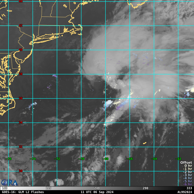
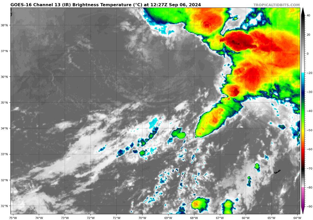
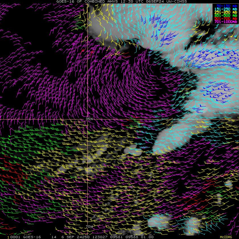
AL, 99, 202409061200, 10, DVTS, CI, , 3680N, 6830W, , 3, 35, 2, , 2, DVRK, , , , , , , , , , , , , , L, TAFB, SD, V, 5, 2525 /////, , , GOES16, CSC, S, Do have a Subjective estimate finally of 35kt ... but model fed data marks it as extratropical:
AL, 99, 2024090612, 01, CARQ, 0, 369N, 679W, 40, 1006, EX, 34, NEQ, 240, 90, 0, 150, 1014, 160, 90, 0, 0, L, 0, X, 35, 15, INVEST, M, From the IR view on Tropical Tidbits, it looked TS-like for a brief moment yesterday, but all the convection was sheared away within a few hours. By around 2:30 AM ET the low-level circulation started to elongate, and that's when I sold.
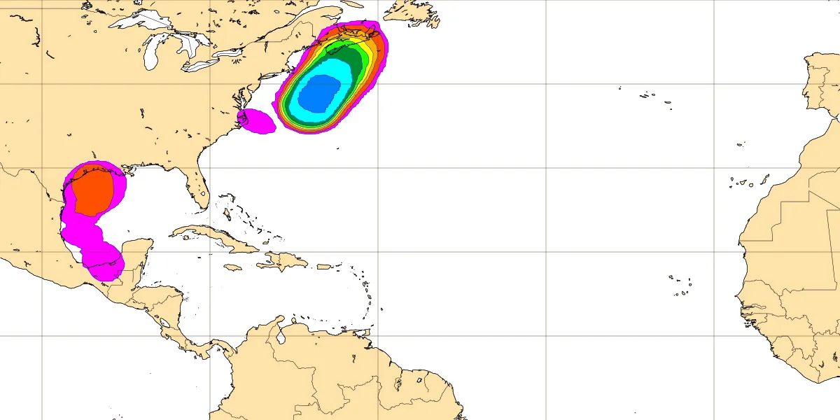
EPS 00Z fairly confident (70%), a short lived STS develops tomorrow afternoon from that disturbance in the NW Atlantic. NHC TWO gives it 20% of development in the next 48 hours. (None of the other ensembles are so bullish)
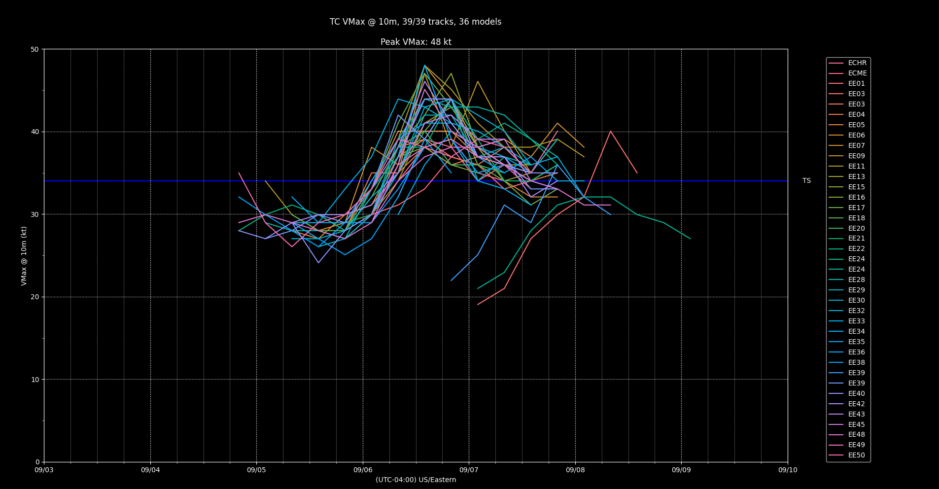
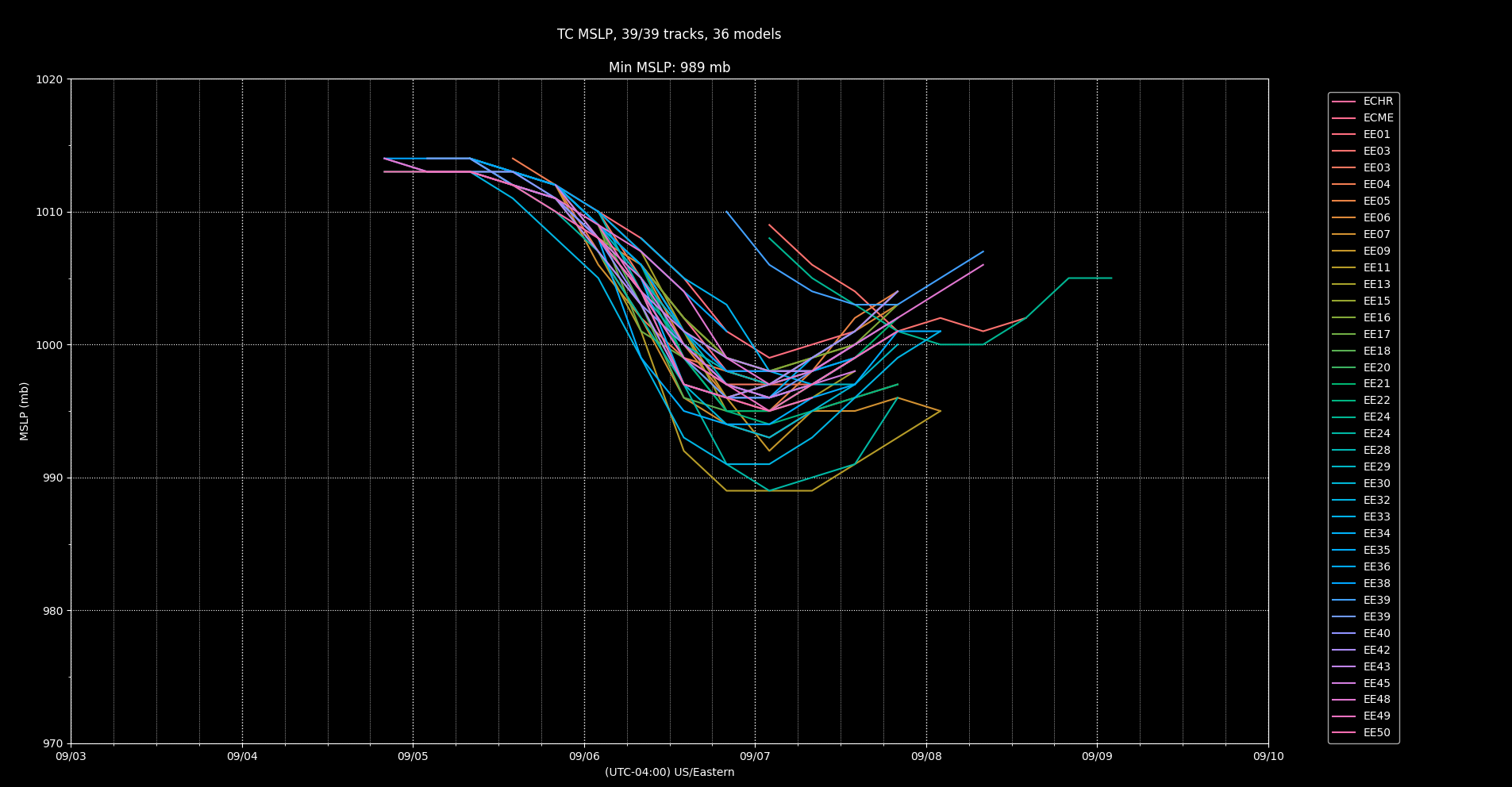
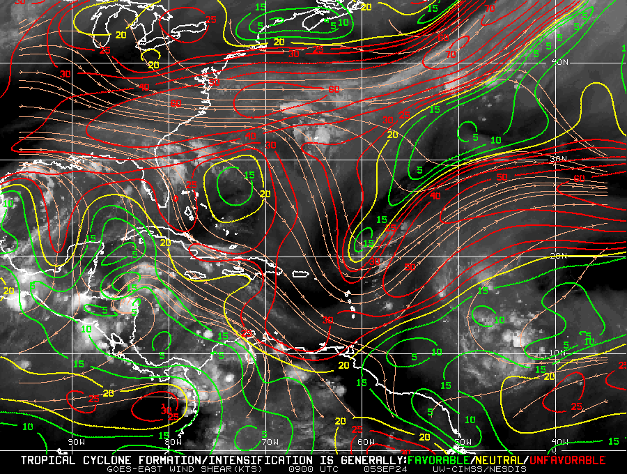
It's development has been hampered by strong shear
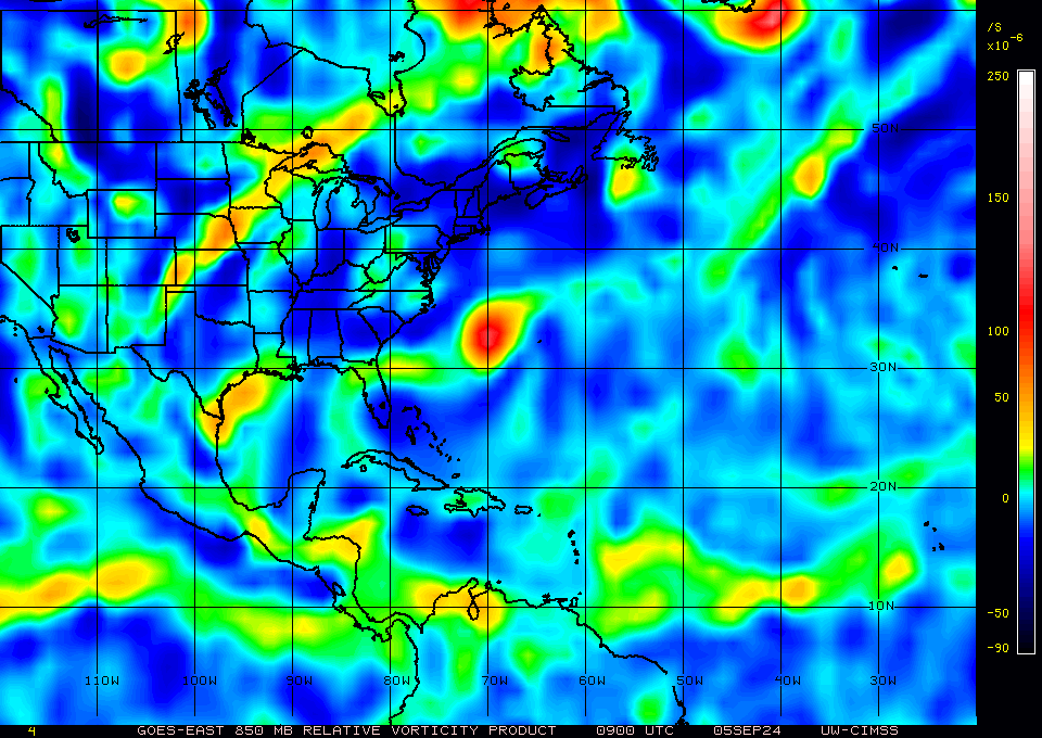
But it has maintained strong vorticity in the lower levels:
@Calibrate They've assigned two new invests, 99L to that one (30% now). and 90L to the NW Gulf of Mexico disturbance (10%).
There are four potential systems on the GTWO at the moment -- if any of them start to show signs of development, I might add more options myself.
@Calibrate I did add myself Sept 4-6 when it was above 50% cumulatively (mostly from EPS) ... but EPS forecasts seem to have missed. I agree if it's above 50% cumulatively (that is any NHC single 7 day extended outlook) in a week it makes sense to add them... right now nor NHC nor mine add up to more than 50%...
Would there be any interest in adding ranges of dates instead of single dates?
