Resolves according to operational intensity, not postseason adjustments.
https://www.nhc.noaa.gov/graphics_at2.shtml?start#contents
🏅 Top traders
| # | Trader | Total profit |
|---|---|---|
| 1 | Ṁ344 | |
| 2 | Ṁ150 | |
| 3 | Ṁ73 | |
| 4 | Ṁ63 | |
| 5 | Ṁ23 |
People are also trading
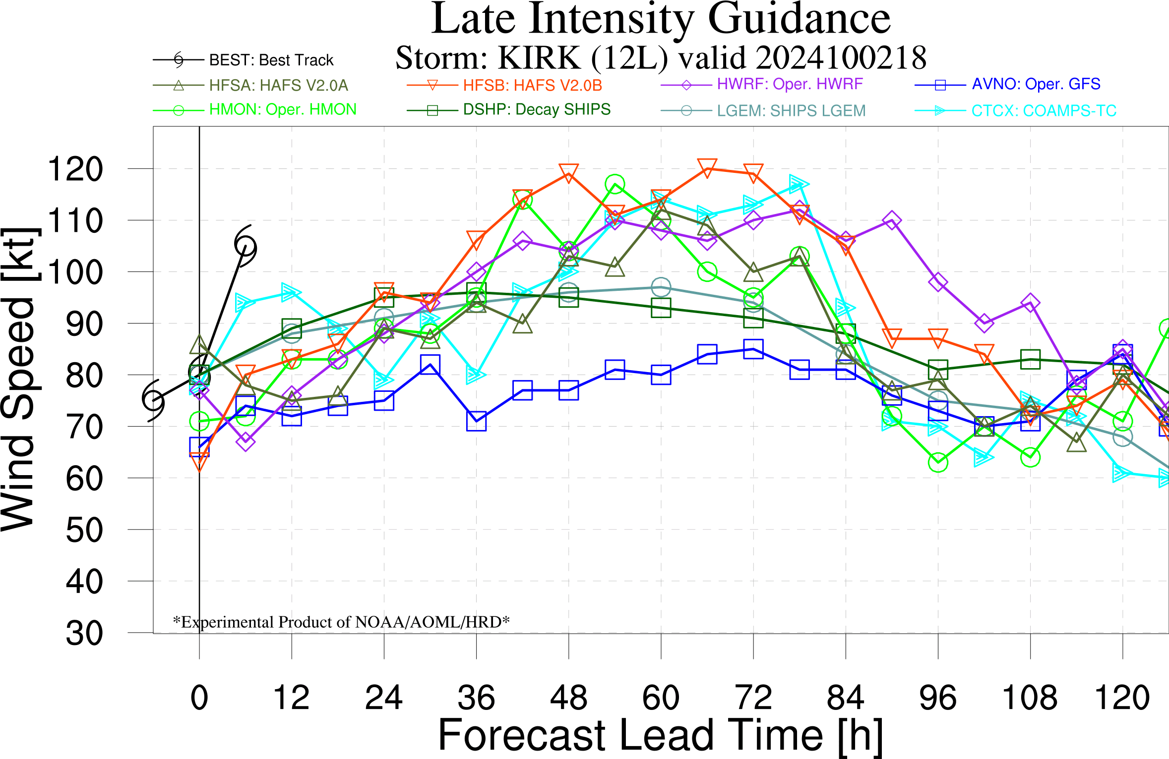
Now 125 kt, expected to reach a peak cat.4 of ~ 135 kt in 12 hours..
https://www.nhc.noaa.gov/text/refresh/MIATCDAT2+shtml/040232.shtml?. FORECAST VALID 04/1200Z 22.5N 48.6W MAX WIND 135 KT...GUSTS 165 KT. 64 KT... 40NE 30SE 20SW 30NW. 50 KT... 70NE 60SE 50SW 50NW. 34 KT...160NE 150SE 120SW 120NW.
Latest NHC advisory increased peak intensity to 130 kt
https://www.nhc.noaa.gov/text/refresh/MIATCDAT2+shtml/030238.shtml
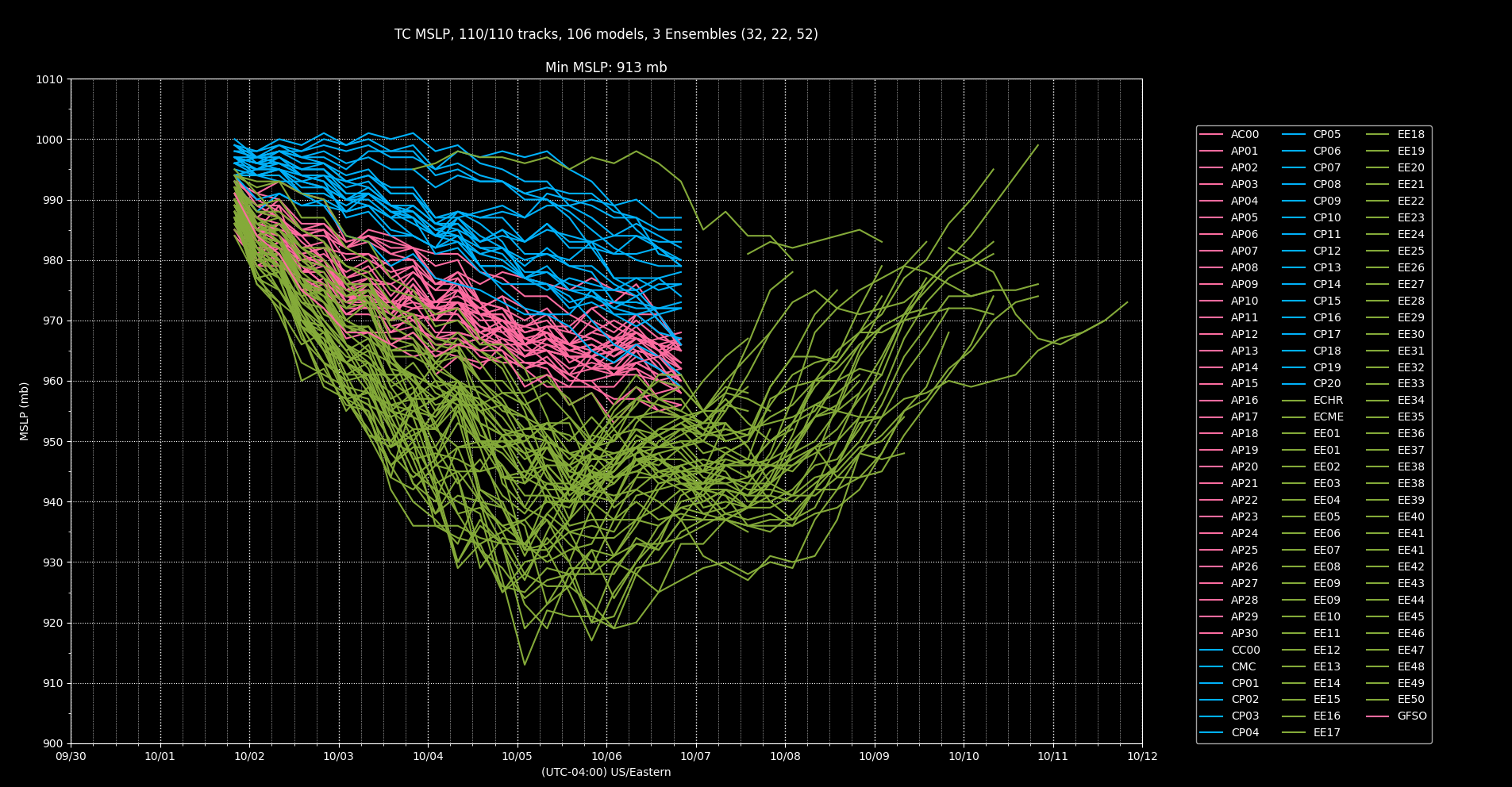
Models are going to be inaccurate until the next runs updated on this:
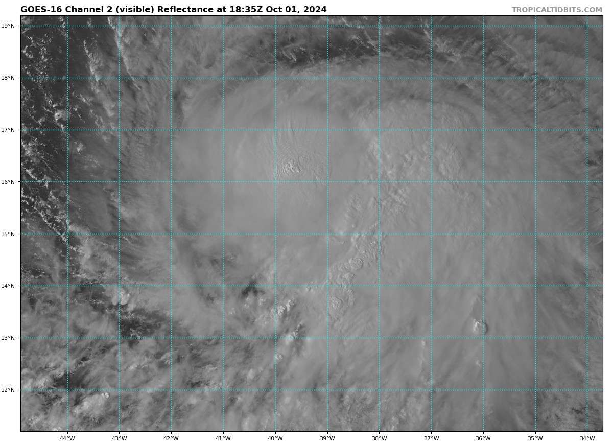
The hurricane has strengthened 55 kt since 0300 UTC last night, which means Kirk lands at a Category 3 on the Saffir-Simpson scale.55 kt increase in 24 hours...
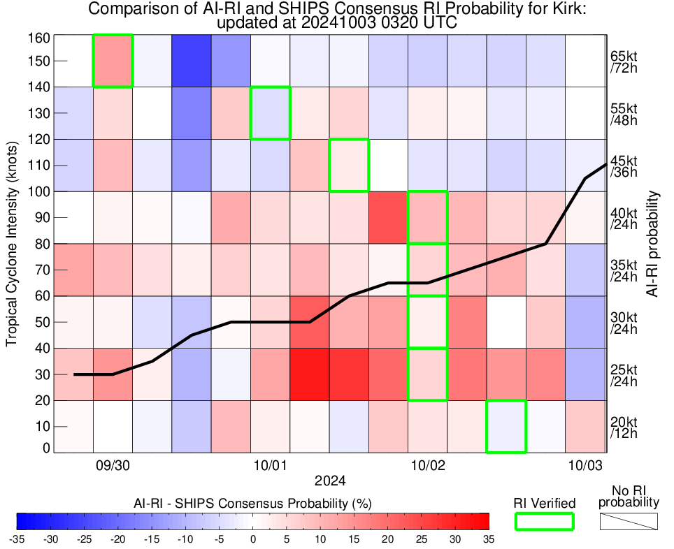
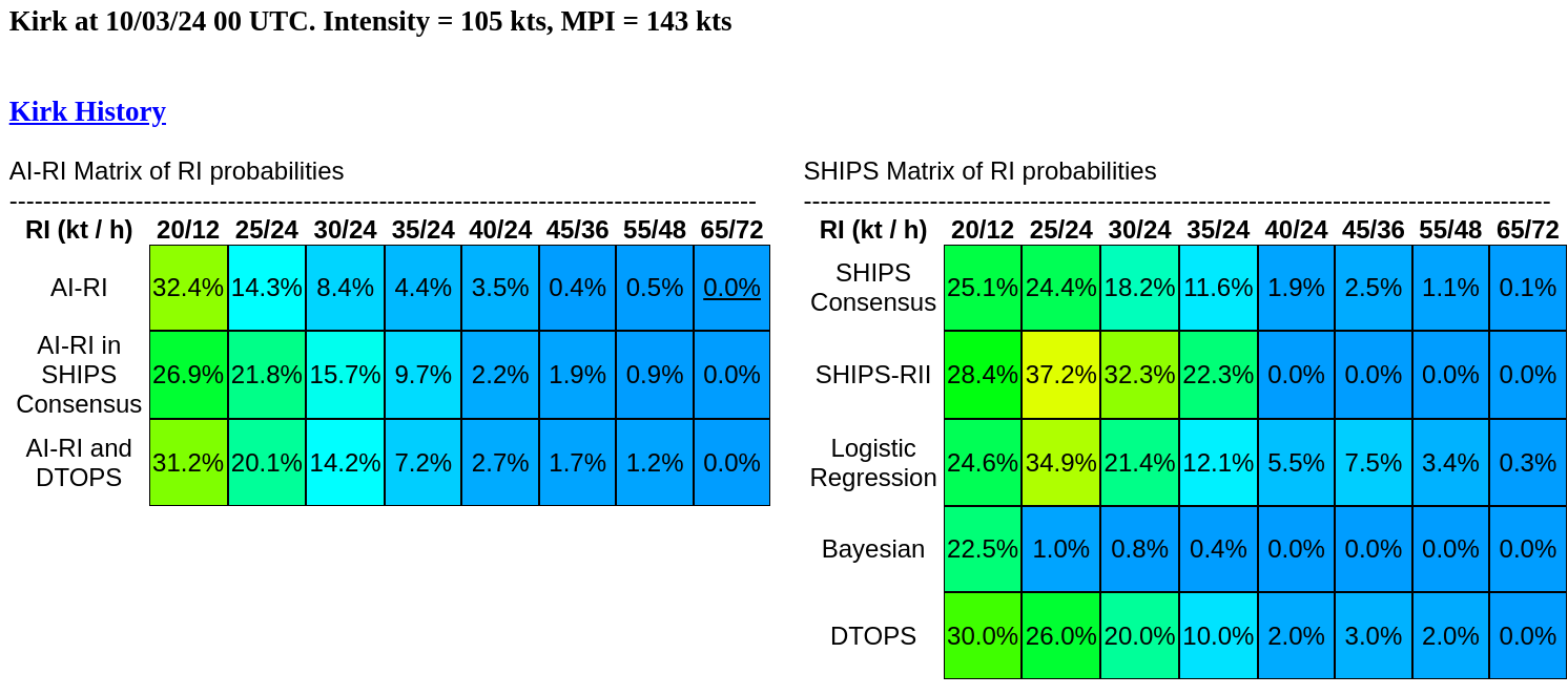
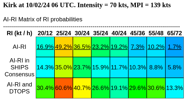
As high as 30% of it reaching 135 kt, 22% reaching 140 kt
NHC forecasting a CAT4 now in the 11 am advisory ....
https://www.nhc.noaa.gov/text/refresh/MIATCMAT2+shtml/021447.shtml
